|
I left my place at 8:15 with the intent to head to Sioux City. Got to
Worthington around 12-12:30, looked at data, and at that point the dew
points in the mid 50s were already to Omaha. Low in SD/NE... things still
looked good. The 9 hour Ruc had Sioux City with LI to -8, CAPE over 1,000,
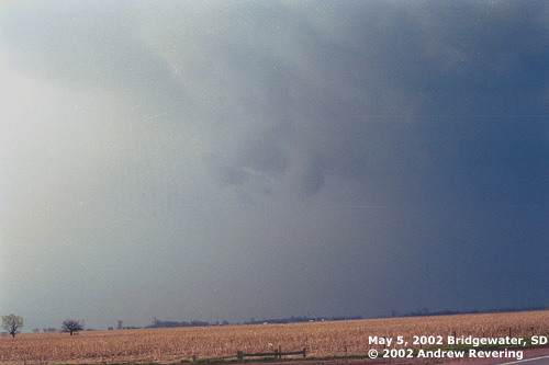
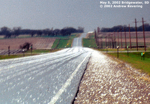
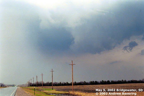
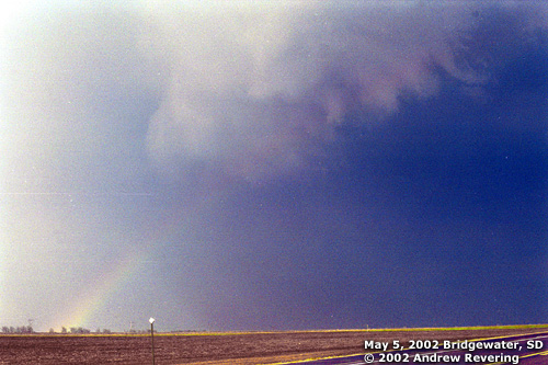
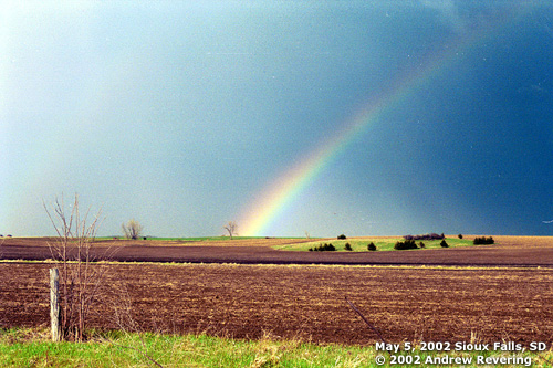
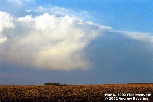
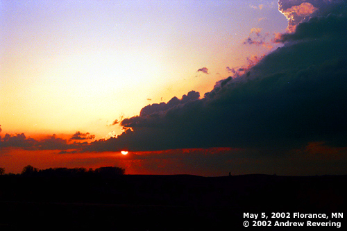
DP to ~55 with good moisture convergence, and low just to the west. By 1:10 I was noticing some cells going up just to my east as I traveled down to Sioux City near Le Mars. I was concerned with these storms given the time and their position. With a little debate with myself I decided to let them go, and fortunately they did not go severe. But they did produce a boundary that storms would later feed off of. By 2:15 I was in Sioux City... went to the south side of town and found an Arby's parking lot to get some data. The look of the situation at that point was to head NW. The dew point in Sioux City was 58, but the real nose of the moisture and heat was in eastern Nebraska into SE SD. The frontal boundary just to the west of that. Staying in SUX would be a longer wait for convection, and this area would be farther from the lifting mechanism. I still couldn't find the warm front, but I didn't look too hard. Decided to play the cold front/dryline which seemed to be as far north as Nebraska. The Yankton area looked like there was a hint of a dry intrusion stream. Very small, but enough to create a mesoscale boundary that interested me. Peggy and Mel were also heading to Yankton and reading Scott's email about being further north all swayed me. So I headed to Yankton. When I got there, I had no digital signal so I couldn't get data, and I couldn't get a hold of anyone to give me a bird's eye view, so I went with visuals (OH NO!)... the better cumulus appeared to be further to the north. Peggy had also called me just before then and said that Tim Vasquez suggested the Mitchell, SD area where the cumulus looked good. So I went north on 81. When I got between Freeman and Bridgewater in McCook County (just west of Sioux Falls, SD) at about 4:50 I had a real dilemma. The cumulus were REALLY starting to look good, towers going up everywhere, a tornado watch just issued, but it had appeared that I might have been better off farther south again. A little showery cell got going just to my west. I was interested, but the word from Rory (thanks for the help Rory) was that it looked weak on Radar and I should head south...back where I just came from. Peggy and Mel were now heading further south at this point, from their position in Sioux Falls. I decided to compromise. I left my target of Sioux City to drive up here, and I wasn't going to drive all the way back again, so I went to the south side of that multicellular-like cluster of showers and waited. It was not much after I got to the SE side of the showers that they blew up into a huge hail core and became what I believe was the first severe storm in South Dakota... McCook county.
|